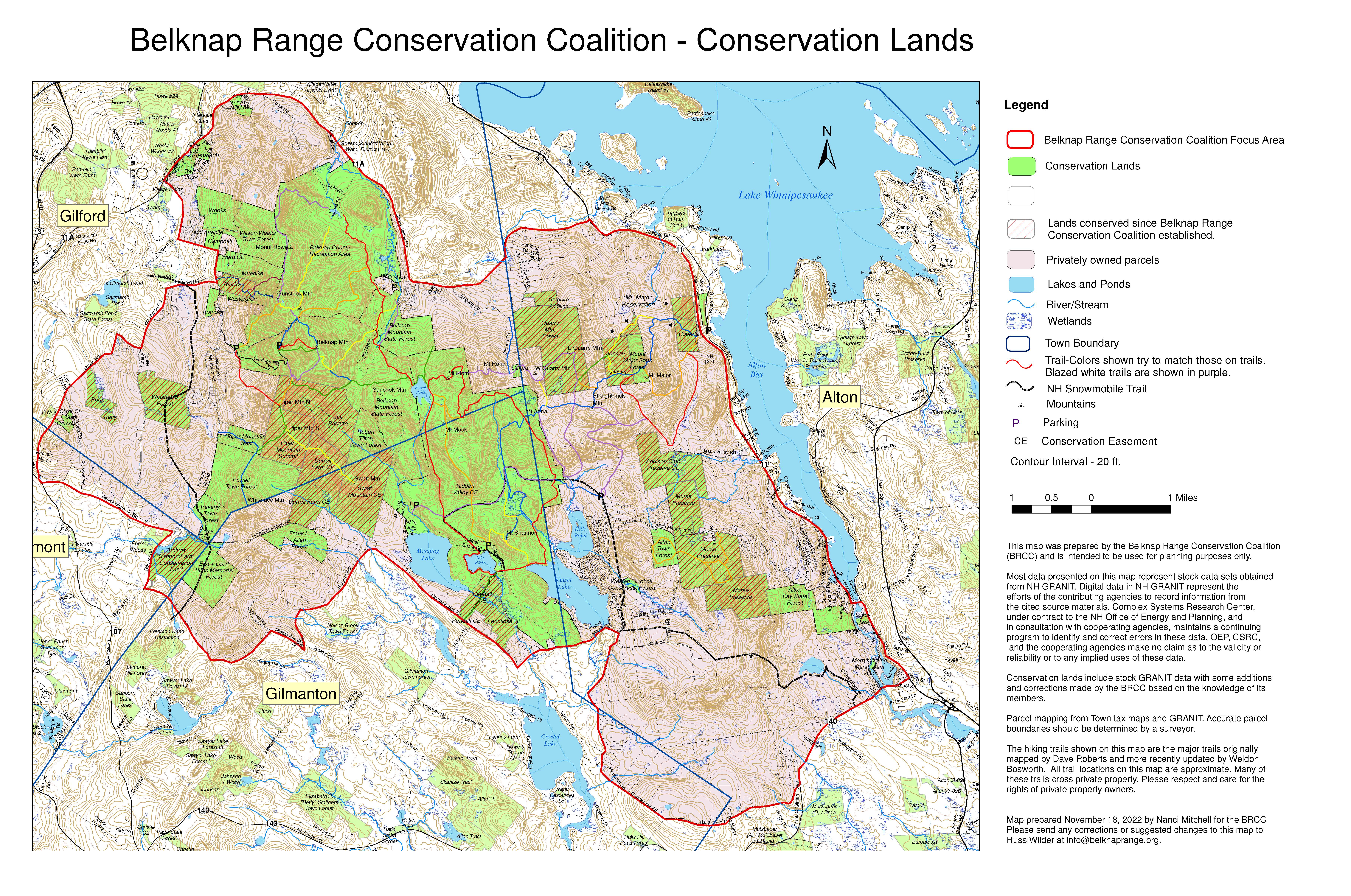
This map shows the large parcels in the Belknap Range which have been conserved by a governmental agency or land trust, either through fee ownership or by conservation easement. Note that lands conserved by a conservation easement are privately owned and may not be open to the public for pedestrian access. BRCC started meeting in 2006 as a group (first formative meetings with very few people were in 2005) and acquired NH non-profit status in 2008. Since 2006 nearly 3800 acres have been conserved in the range. To see a spreadsheet with parcels, acres and years, click "Read More" below. BRCC helped facilitate the conservation of these lands by working with coalition members.


